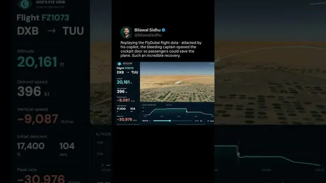
// Reconstruction 03
Iran and the Gulf ·
Iran strikes in 4D
Operation Epic Fury, minute by minute on a 3D globe
Reconstruction by Bilawal Sidhu · 10M views and plays across YouTube, X, Instagram and TikTok
// What was reconstructed
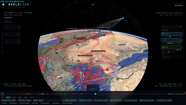
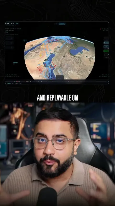
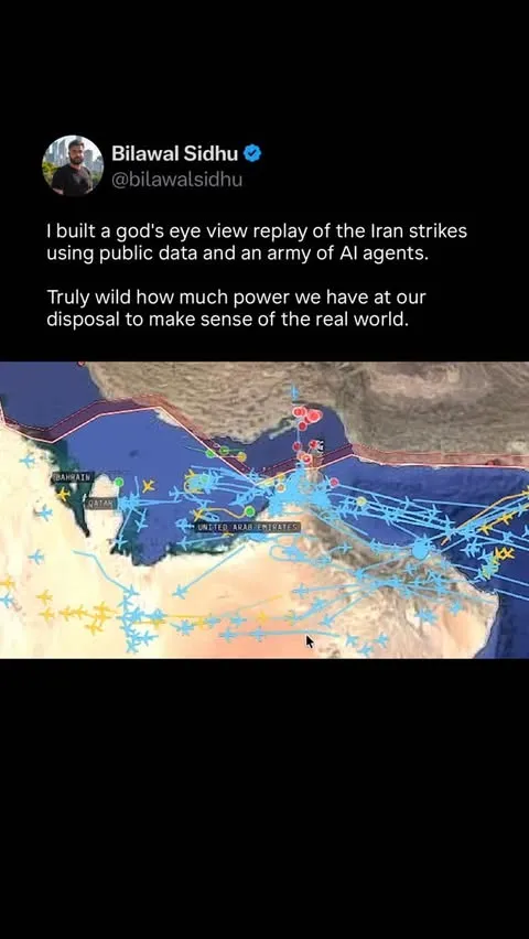
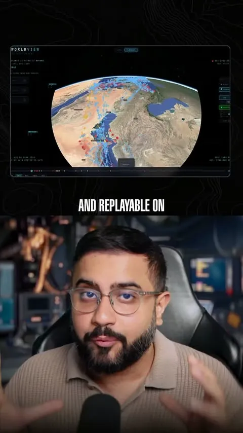
By evening, I had banked every open-source signal I could find before the caches cleared. What came out the other side is a full 4D reconstruction of Operation Epic Fury — from the military and commercial satellites overhead to the cascading airspace shutdowns across the Gulf. Replayable, scrubbable, minute by minute on a 3D globe.
- Commercial flights
- Satellite constellations
- GPS jamming
- Maritime traffic
- No-fly zones
- Strike coordinates
- 3,400+
- Aircraft tracked via ADS-B
- 6
- Primary layers
- 24h
- Replay
The layers
In Bilawal's words, from spatialintelligence.ai
01 Commercial flights
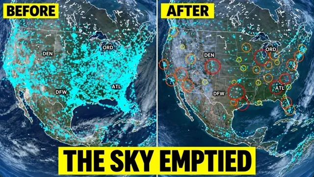
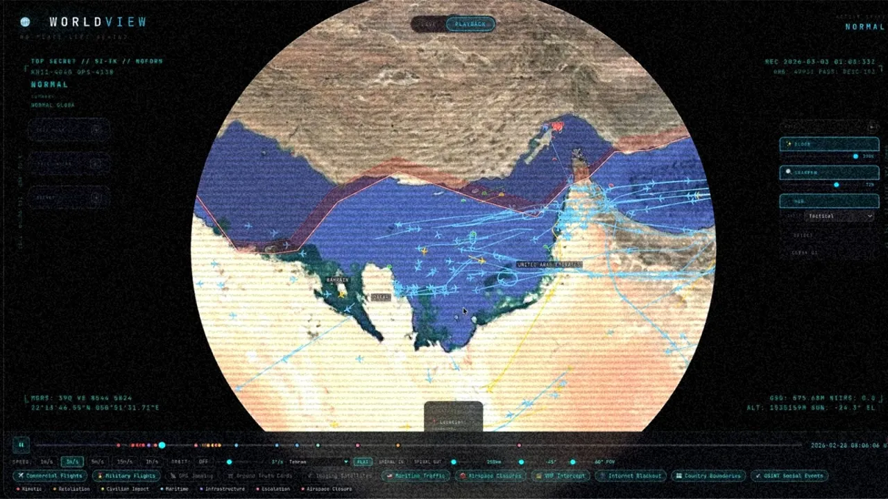
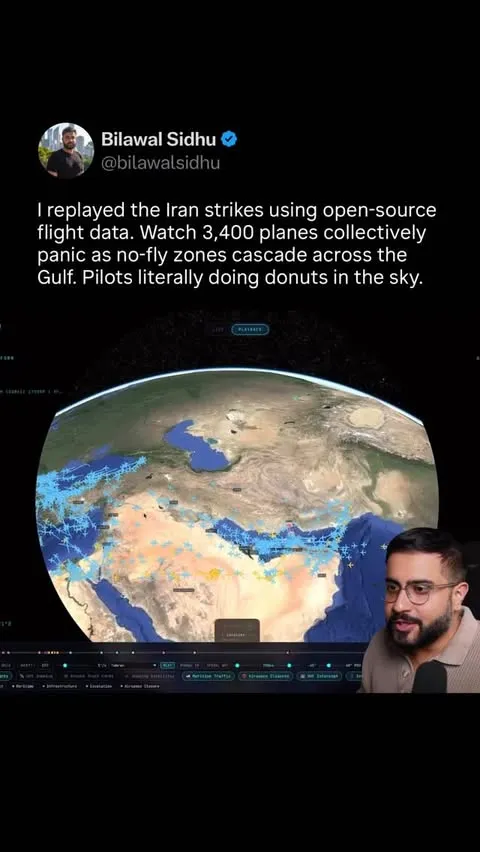
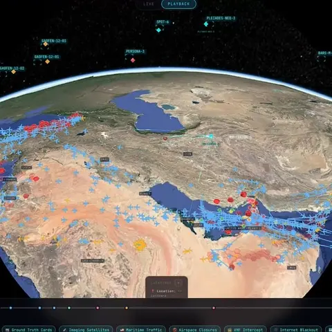
3,400+ aircraft tracked via ADS-B. You can watch the airspace clear out in real time as the strikes approach — flights literally routing around Iran.
02 Satellite constellations
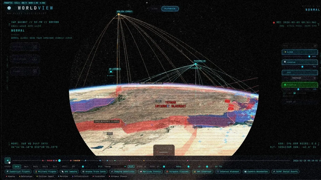
Using publicly available orbital data, I mapped every commercial and military satellite that was in orbit over Iran before, during, and after the strikes.
03 GPS jamming
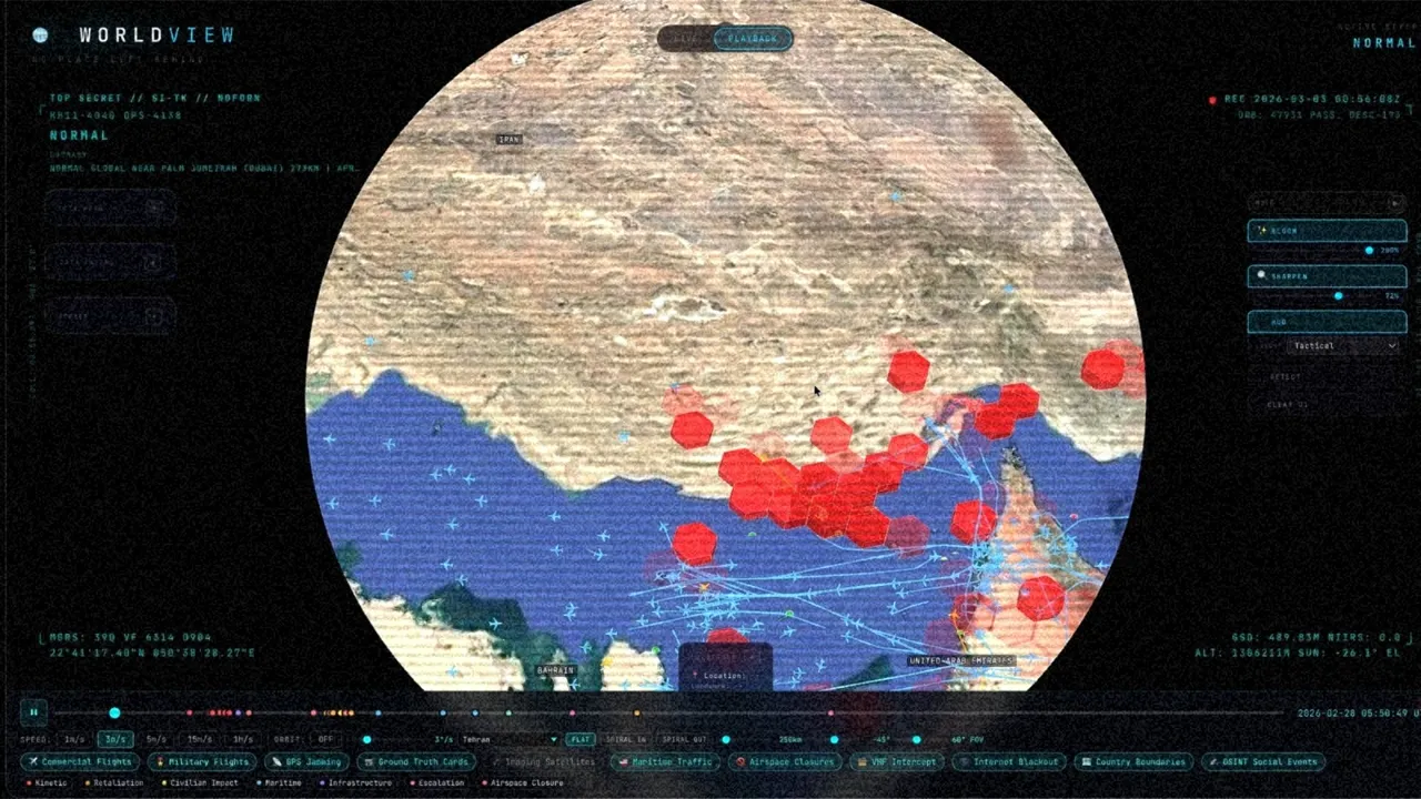
Every commercial aircraft broadcasts its GPS confidence level. When you aggregate enough of those signals, you can map where active GPS interference is happening — without any classified sensors at all.
04 Maritime traffic
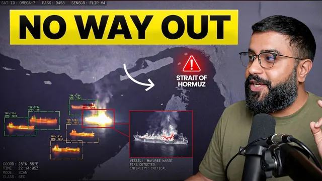
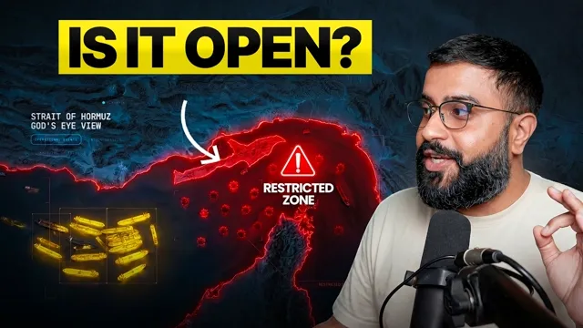
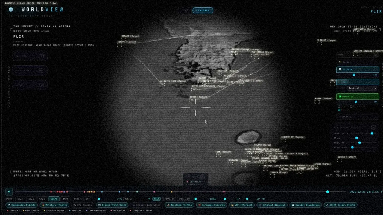
The Strait of Hormuz is one of the most critical shipping chokepoints on the planet. When the Islamic Revolutionary Guard effectively shut it down, you could watch the panic in real time — tankers scattering, one vessel getting hit, commercial shipping fleeing the bottleneck.
05 No-fly zones
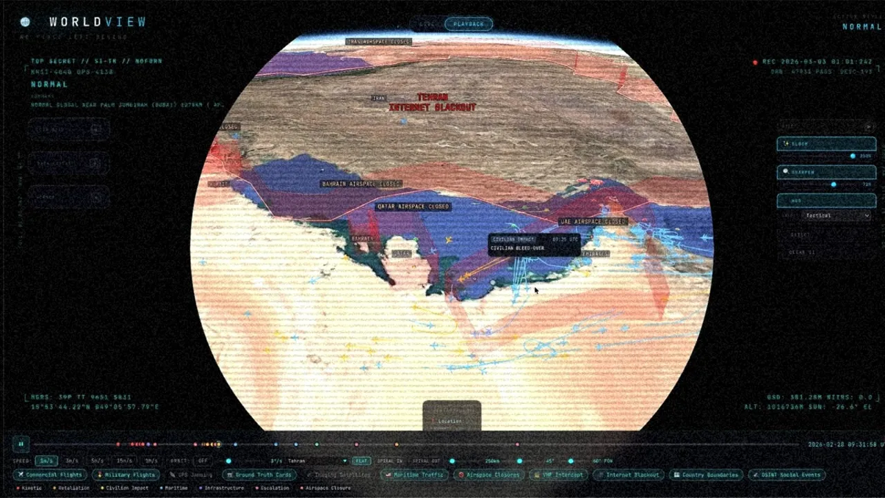
The cascading airspace shutdowns told a story on their own. Iran goes dark. Then Iraq. Then Kuwait.
06 Strike coordinates
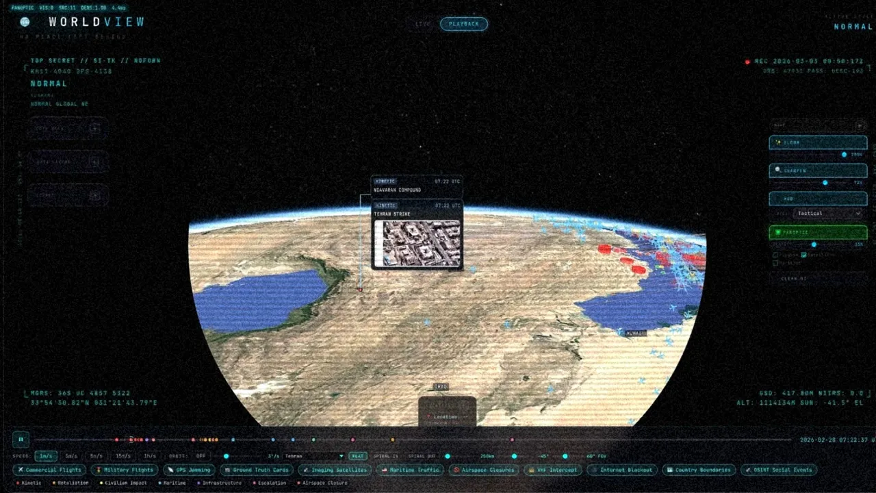
Geolocated from open reporting and correlated against everything else.
Also on
Reconstruct it yourself
God's Eye View is free and open source.